
Aerial Mapping & Surveying
Precise Aerial Mapping & Surveying Solutions for Accurate Project Insights

Why Choose Aerial Mapping & Surveying Services?
Unlock the Benefits of Drone Services
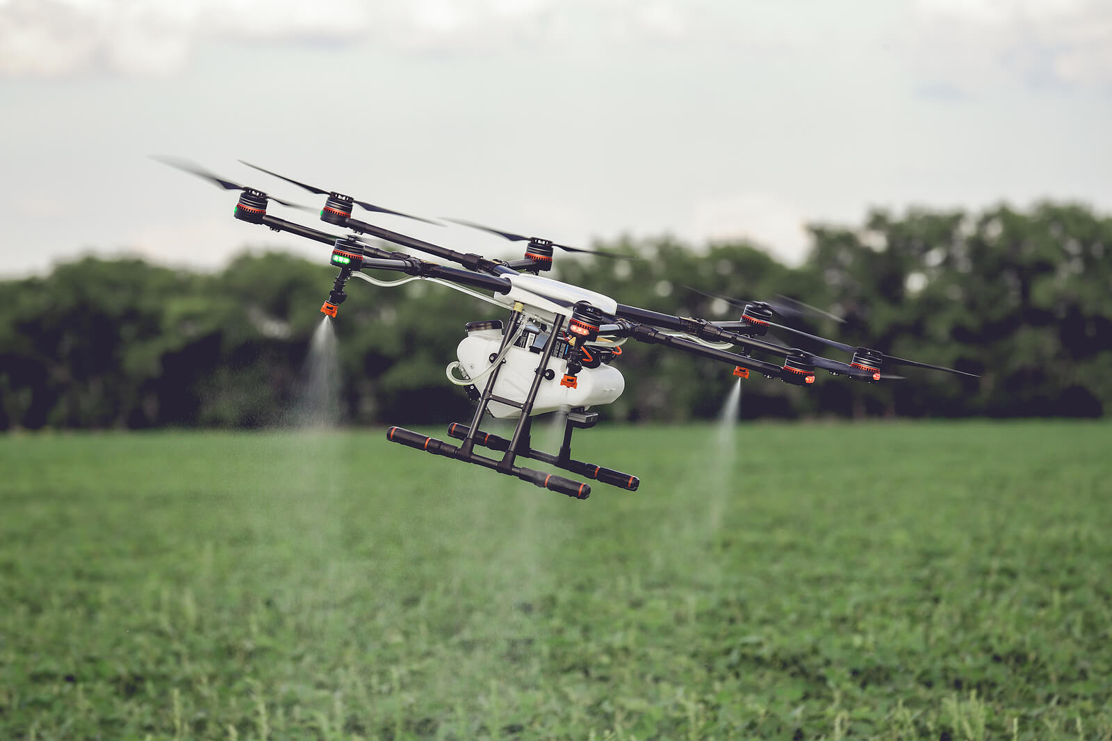
Aerial Mapping & Surveying Services provide unmatched accuracy, efficiency, and comprehensive data collection for projects across various industries. At Drones Service Canada, we use advanced drone technology to deliver precise topographical data, 3D mapping, and high-resolution imagery, empowering industries like construction, agriculture, and environmental monitoring.
Our experienced team tailors each flight plan to meet your project needs, providing reliable and actionable insights that enhance decision-making and project outcomes.

Partner with Us for Exclusive Benefits
Work with us and enjoy
these benefits
Enhanced Accuracy
High-resolution visuals offer clear insights into property conditions.
Quick Turnaround
Speed up claim processing with instant aerial data
Improved Safety
Drones handle hazardous inspections, keeping people out of harm’s way.
Reduced Costs
Minimize expenses tied to on-site inspections.
Optimize Your Project with Aerial Mapping
Gain detailed perspectives and actionable data from our advanced aerial mapping and surveying services.
Corporate & private
How Our Drone Inspection Process Works
Consultation
Discuss your needs and vision.
Planning
We determine the best time and angles to capture your property.
Drone Flight
Our certified pilots capture high-quality aerial footage.
Post-Processing
Professional editing of photos and videos to meet your specific requirements.
Delivery
Final results delivered within 48 hours.
Analysis & Reporting
We review and analyze the captured data, providing a detailed report with actionable insights.
Drone Solutions for Every Industry
Our drone services deliver high-quality solutions for any industry, from aerial mapping to visual content and project tracking.


Gallery
Visit our best video gallery
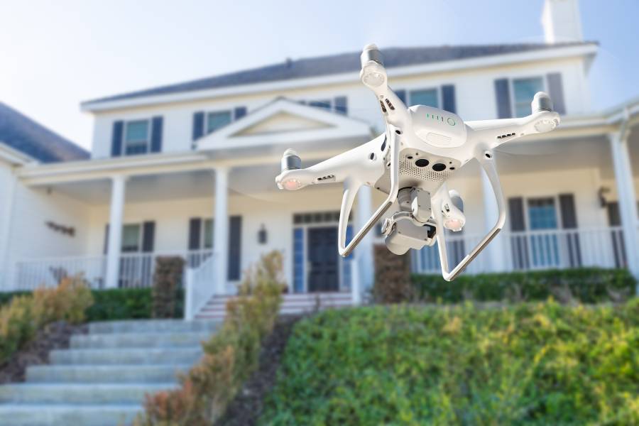


Drone Inspections
for Insurance FAQS
What are the main benefits of aerial mapping and surveying services?
Aerial mapping and surveying provide high accuracy, faster data collection, and cost-effective solutions compared to traditional ground methods.
Which industries can benefit from aerial mapping and surveying?
Industries such as construction, agriculture, environmental monitoring, mining, and real estate can significantly benefit from our aerial mapping services.
How accurate is the data collected through aerial mapping and surveying?
Our drones capture highly accurate data with centimeter-level precision, ensuring reliability for planning, analysis, and reporting.
Can aerial mapping be customized for specific project requirements?
Yes, each mapping project is customized with specific flight paths, data types, and resolution settings to meet unique project requirements.
How long does it take to process and deliver the mapping data?
Project timelines depend on the scope, but we strive to deliver processed data quickly, typically within a few days after data collection.
Get StartedReady to Elevate Your Project?
Discover the impact of professional drone services tailored to your industry needs.