
Agriculture & Land Surveys
Reliable Drone Inspections for Insurance Claims & Risk Assessments

Why Choose Drone Surveys for Agriculture & Land?
Unlock the Benefits of Drone Surveys
Unlock the full potential of drone technology in agriculture and land surveying with Aerial Ace Drone Services. Traditional surveying methods can be time-intensive and costly, but with our advanced drone technology, we provide quick, accurate, and cost-effective solutions that reach every corner of your land with ease.

Partner with Us for Exclusive Benefits
Key Benefits of Drone Surveys in Agriculture
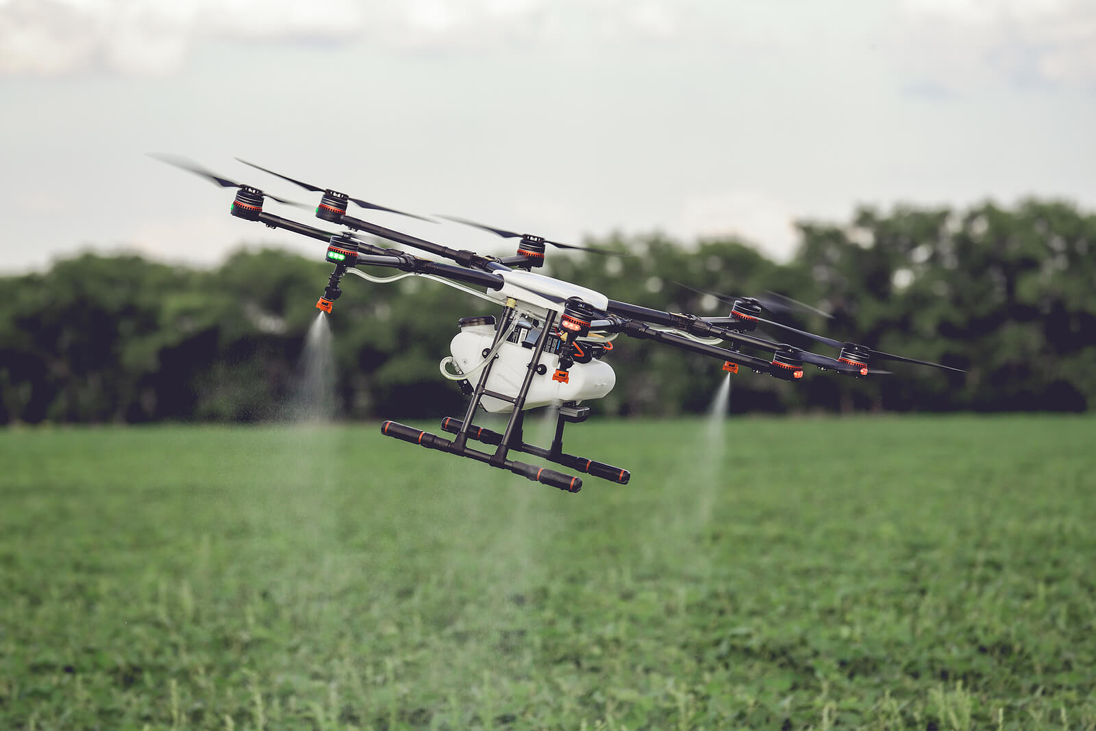
Enhanced Crop Monitoring
Our high-resolution drone imagery allows for precise crop monitoring, identifying areas of concern before they impact yield.
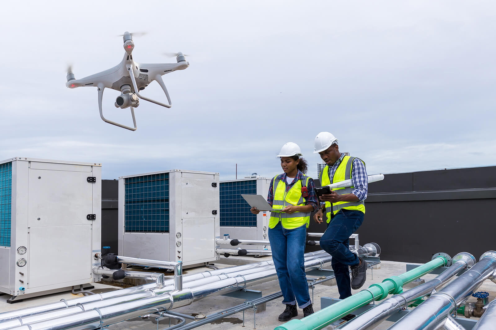
Efficient Land Assessment
Drones quickly cover large areas, providing fast, accurate assessments for farming and irrigation planning.
Environmentally Friendly
Drone surveys are environmentally friendly, reducing heavy machinery use and minimizing soil disturbance.
Reduced Costs
Drone Surveys for Agriculture & Land Management
Precision Drone Solutions for Effective Land and Crop Management
Ensure comprehensive land and crop assessments with our accurate and efficient drone surveys, tailored for the needs of modern agriculture.
Corporate & private
How Our Drone Inspection Process Works
Consultation
Discuss your needs and vision.
Planning
We determine the best time and angles to capture your property.
Drone Flight
Our certified pilots capture high-quality aerial footage.
Post-Processing
Professional editing of photos and videos to meet your specific requirements.
Delivery
Final results delivered within 48 hours.
Analysis & Reporting
We review and analyze the captured data, providing a detailed report with actionable insights.
Agriculture & Land Surveys for All Sectors
Our drone services provide top-quality solutions across industries, offering aerial mapping, visual analysis, and project monitoring tailored to your needs.


Gallery
Visit our best video gallery


Agriculture & Land Surveys FAQS
How accurate are drone surveys for agricultural land assessment?
Drone surveys are highly accurate, capturing detailed aerial imagery and data to assess land features, crop health, and soil conditions with precision.
What types of data can drones provide for agriculture?
Drones can capture crop health imagery, elevation data, soil analysis, water distribution insights, and identify areas needing improvement.
How do drone surveys benefit crop monitoring?
Drone surveys allow frequent and comprehensive crop monitoring, identifying issues like pests, disease, and irrigation needs early, helping to maximize yield.
How long does a typical drone survey take?
Survey times vary based on acreage, but most agricultural drone surveys are completed within a few hours, with processed data available shortly after.
Is drone surveying cost-effective for large farms?
Yes, drone surveys reduce manual labor and equipment costs, making them a cost-effective choice for assessing large areas quickly and accurately.
Get StartedReady to Elevate Your Project?
Discover the impact of professional drone services tailored to your industry needs.