
Environmental Monitoring & Surveys

Discover the Advantages of Drone Services
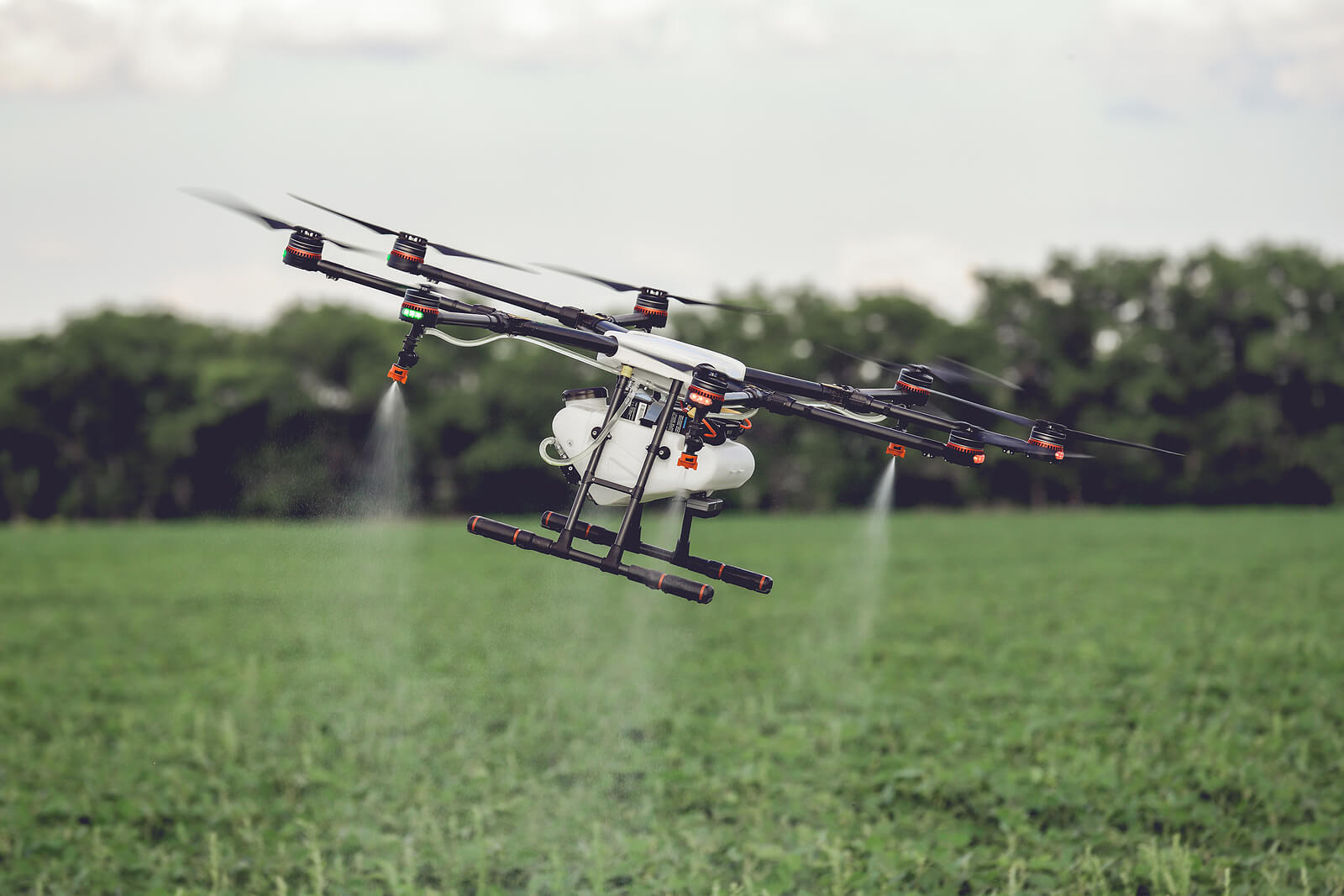
Environmental Monitoring & Surveys provide critical insights that support sustainable practices, environmental protection, and regulatory compliance. At Drones Service Canada, we use advanced drone technology to capture precise, real-time data on environmental conditions, including vegetation health, water quality, and habitat changes.
Our team tailors each survey to meet specific project requirements, enabling sectors like agriculture, conservation, and resource management to make informed decisions based on accurate, actionable data.

Partner with Us for Exclusive Benefits
Work with us and enjoy
these benefits
Enhanced Accuracy
High-resolution visuals offer clear insights into property conditions.
Quick Turnaround
Speed up claim processing with instant aerial data
Improved Safety
Drones handle hazardous inspections, keeping people out of harm’s way.
Reduced Costs
Minimize expenses tied to on-site inspections.
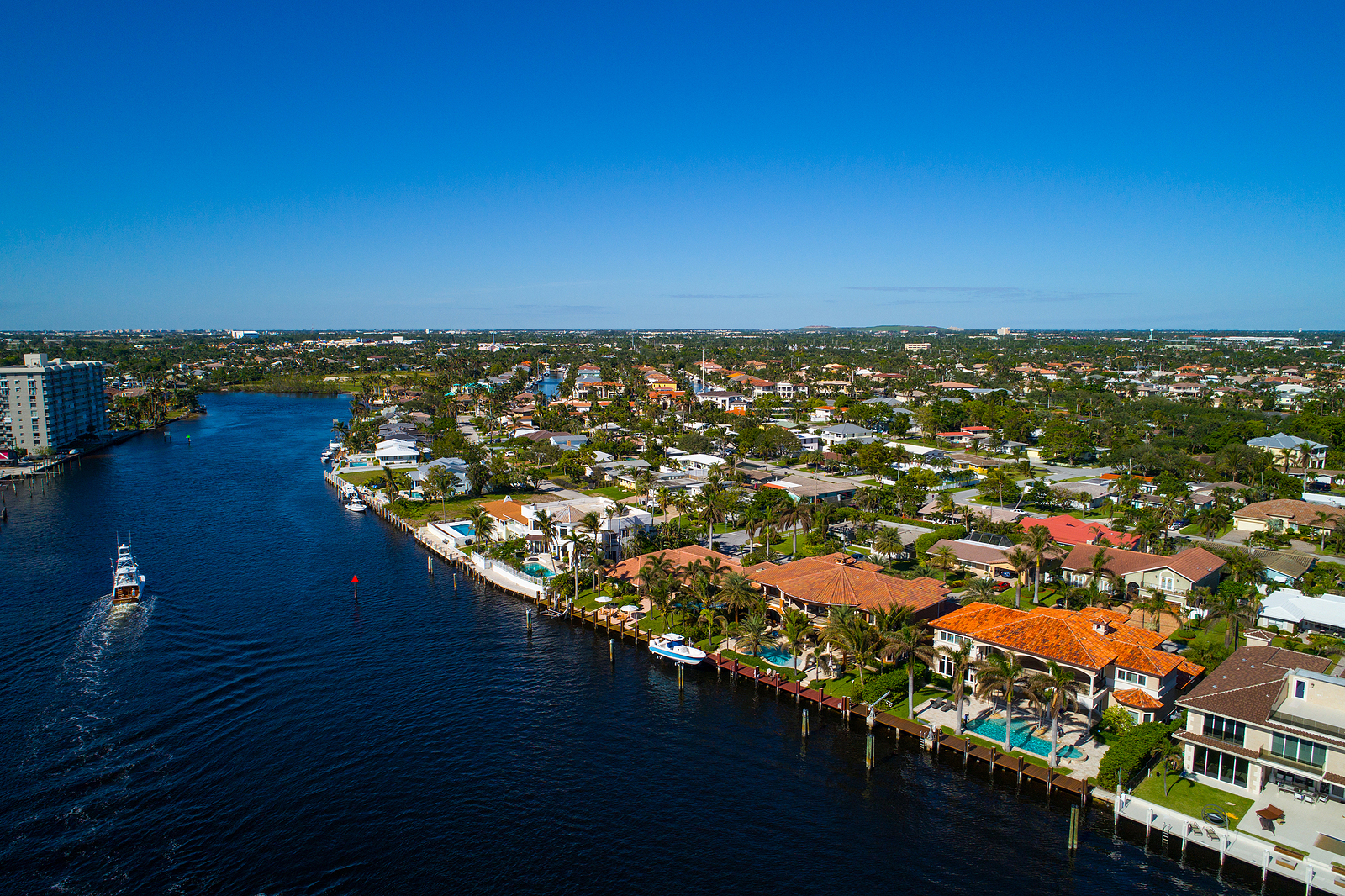
Protect and Preserve with Environmental Monitoring
Gather accurate data to support conservation resource management with our advanced environmental monitoring services.
Corporate & private
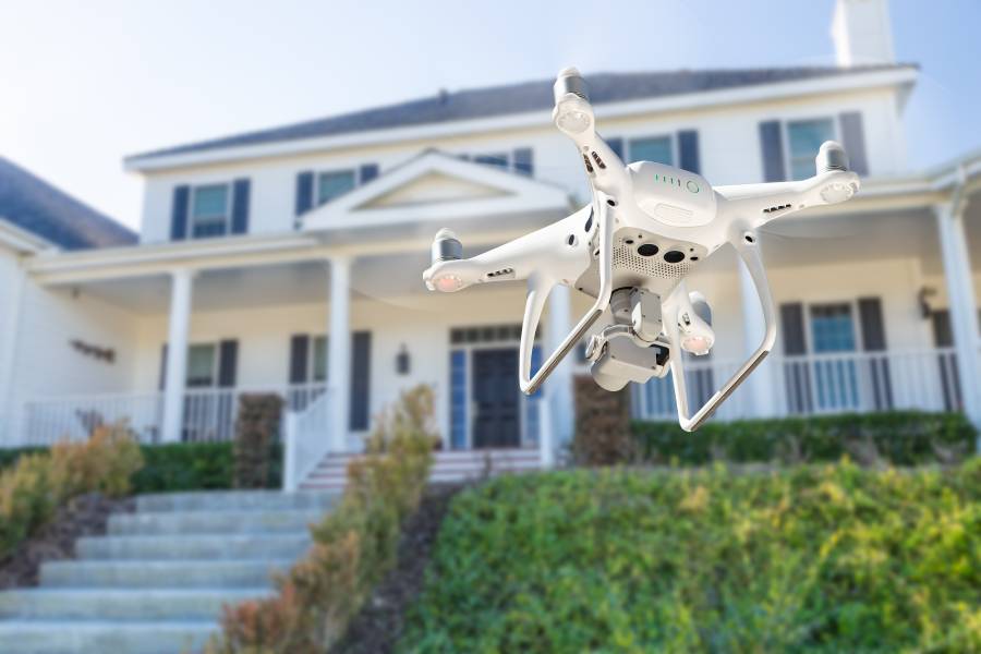
How Our Drone Inspection Process Works
Consultation
Discuss your needs and vision.
Planning
We determine the best time and angles to capture your property.
Drone Flight
Our certified pilots capture high-quality aerial footage.
Post-Processing
Professional editing of photos and videos to meet your specific requirements.
Delivery
Final results delivered within 48 hours.
Analysis & Reporting
We review and analyze the captured data, providing a detailed report with actionable insights.
Drone Solutions for Every Industry
Our drone services deliver high-quality solutions for any industry, from aerial mapping to visual content and project tracking.


Gallery
Visit our best video gallery


Drone Inspections
for Insurance FAQS
What data can be collected through environmental monitoring and surveys?
Our drones capture a wide range of data, including vegetation health, water quality, soil composition, and wildlife activity, tailored to your monitoring goals.
Who can benefit from environmental monitoring and surveys?
Industries such as agriculture, forestry, conservation, and government agencies benefit from detailed environmental insights for decision-making and compliance.
How often should environmental monitoring be conducted?
The frequency depends on project requirements. Regular monitoring can be weekly, monthly, or seasonal, depending on environmental changes and regulatory needs.
Are the data and imagery collected by drones accurate for reporting?
Yes, our drones capture high-resolution, precise data suitable for professional analysis, reporting, and compliance documentation.
Can you customize environmental monitoring services for unique project needs?
Absolutely. We tailor each survey to meet your project’s unique environmental goals, providing targeted data for optimal insights and effective decision-making.
Get StartedReady to Elevate Your Project?
Discover the impact of professional drone services tailored to your industry needs.