
Real Estate Photography
Capture Stunning Property Views with Professional Real Estate Drone Photography

Discover the Value of Drone Services for Real Estate
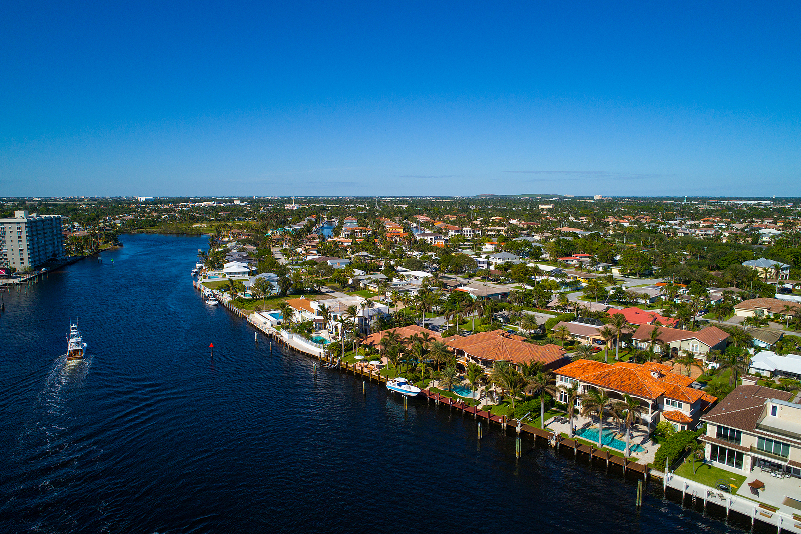
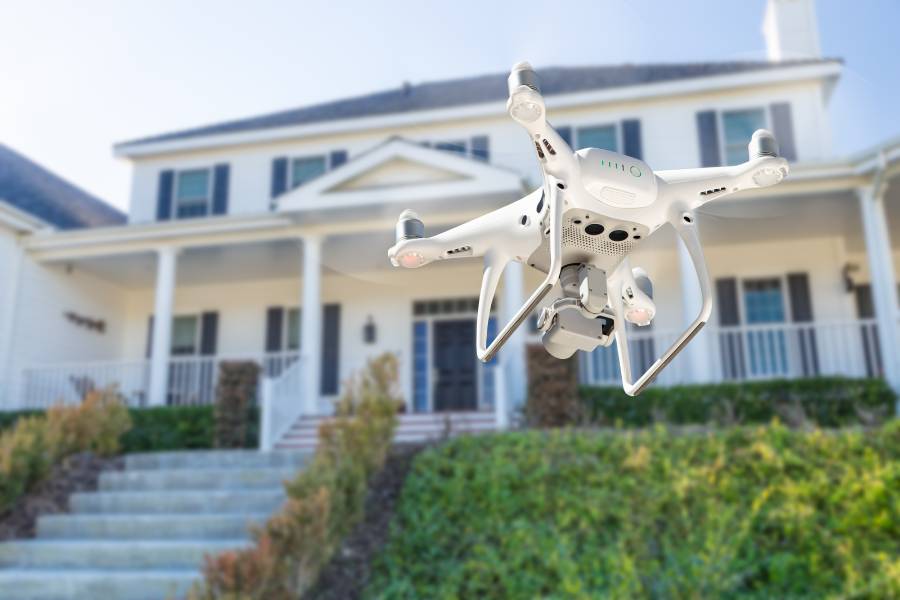
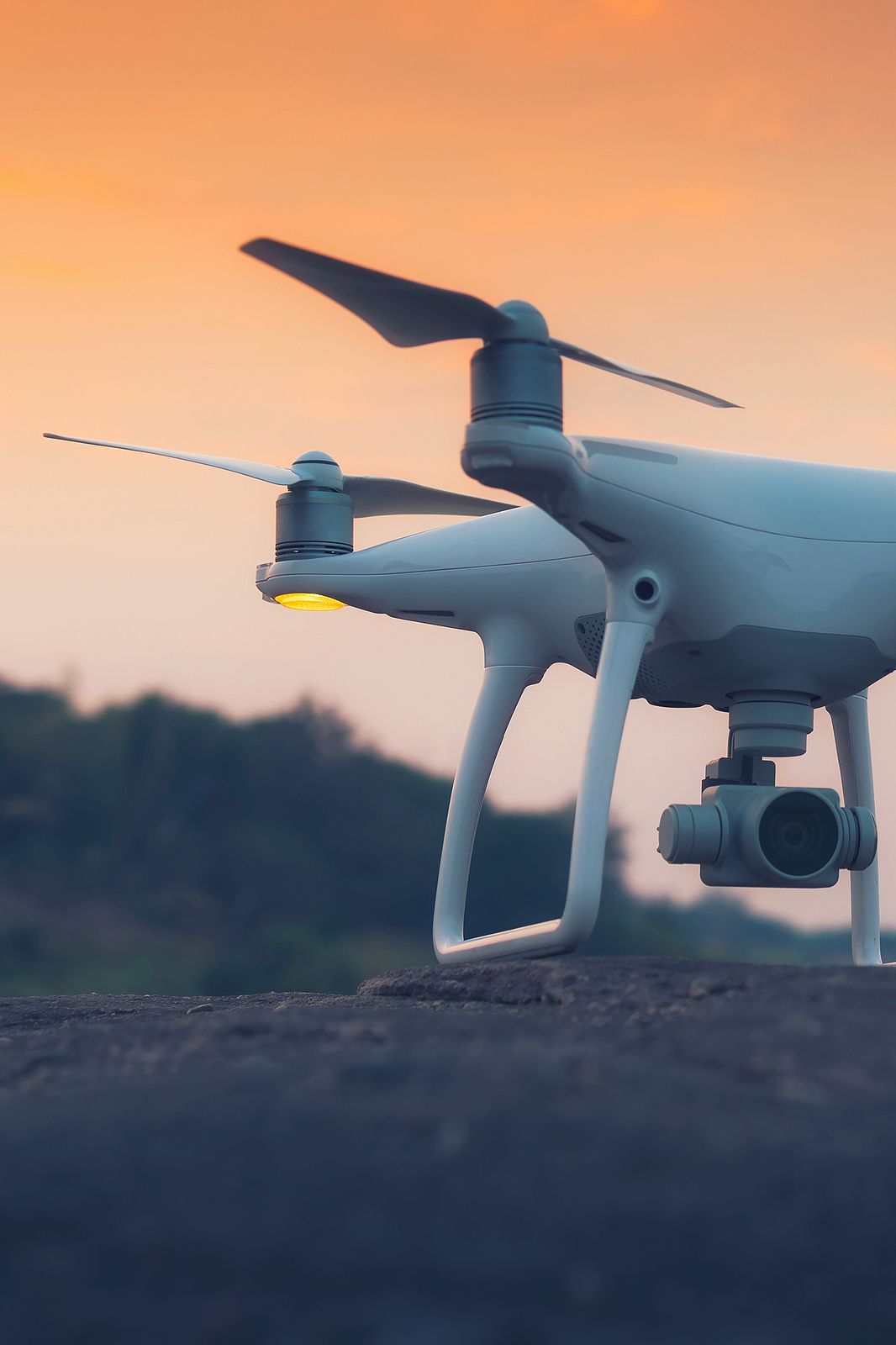
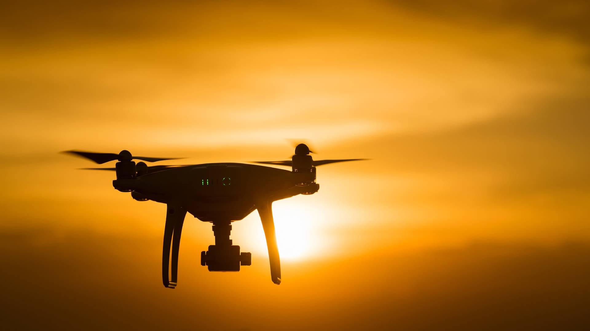
Real Estate Photography is essential for showcasing properties from unique and captivating perspectives. At Drones Service Canada, we provide high-quality aerial and ground-level imagery that highlights the best features of residential and commercial properties.
Our drone photography brings properties to life with detailed visuals, giving potential buyers a true sense of space and layout. By utilizing our services, real estate professionals can enhance property listings, engage viewers, and make a memorable impact on prospective buyers.

Partner with Us for Exclusive Benefits
Work with us and enjoy
these benefits
Enhanced Accuracy
High-resolution visuals offer clear insights into property conditions.
Quick Turnaround
Speed up claim processing with instant aerial data
Improved Safety
Drones handle hazardous inspections, keeping people out of harm’s way.
Reduced Costs
Minimize expenses tied to on-site inspections.
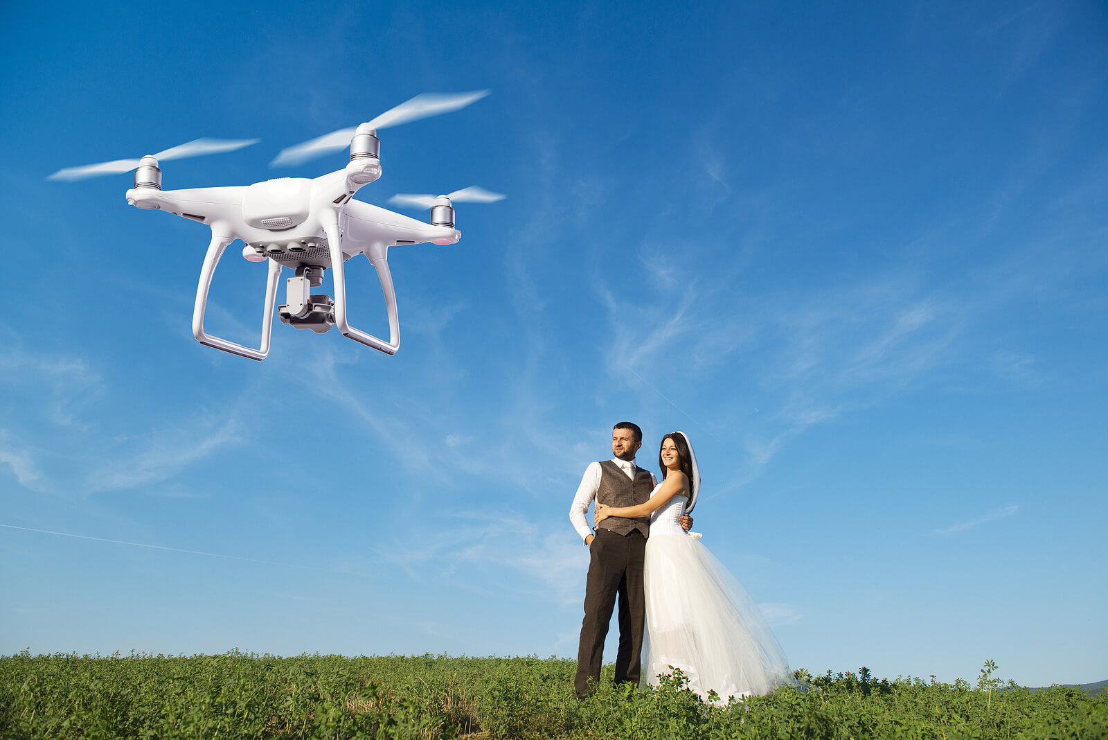
Elevate Your Listings with Stunning Aerial Views
Enhance property appeal and capture interest with breathtaking real estate photography, offering a complete view of every property.
Corporate & private
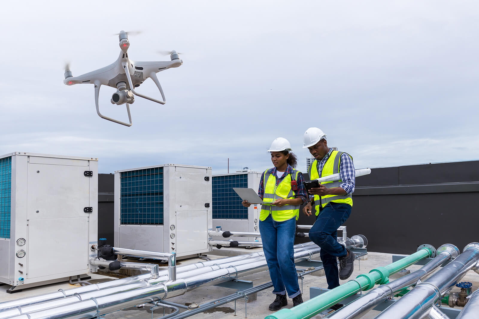
How Our Drone Inspection Process Works
Consultation
Discuss your needs and vision.
Planning
We determine the best time and angles to capture your property.
Drone Flight
Our certified pilots capture high-quality aerial footage.
Post-Processing
Professional editing of photos and videos to meet your specific requirements.
Delivery
Final results delivered within 48 hours.
Analysis & Reporting
We review and analyze the captured data, providing a detailed report with actionable insights.
Drone Solutions for Every Industry
Our drone services deliver high-quality solutions for any industry, from aerial mapping to visual content and project tracking.
Gallery
Visit our best video gallery
Real Estate Photography FAQS
How can drone photography enhance real estate listings?
Drone photography provides aerial perspectives that showcase property layouts, surroundings, and unique features, attracting more potential buyers.
What types of properties benefit from real estate drone photography?
Residential homes, commercial spaces, and large estates all benefit from drone photography, offering comprehensive views that standard photos can’t capture.
Are your drone operators certified for real estate projects?
Yes, our team consists of licensed drone pilots experienced in capturing high-quality images specifically for the real estate market.
Can you provide both photos and videos of properties?
Absolutely. We offer a range of services, including aerial photography and videography, tailored to meet the needs of each real estate project.
How long does it take to complete a real estate photography project?
Most real estate shoots can be completed within a day, with edited photos and videos delivered promptly to meet your listing deadlines.
Get StartedReady to Elevate Your Project?
Discover the impact of professional drone services tailored to your industry needs.